Switch to dark mode 🌚
Increase font size
Decrease font size
Slipping and Sliding
Monday, December 15, 2025
This March, I plan on running the Lenape Trail Race, a 34-mile course
through Essex County, New Jersey. It will probably take me 7+ hours.
I will probably walk parts of it and take some breaks. I might not finish it.
I don't really want to run an ultra-marathon, but I really want to run the
whole Lenape Trail. It just happens to be 34 miles. Oh well.
I discovered the trail years ago, probably on a walk with Macy in the South Mountain
Reservation.

In high school, the South Mountain Reservation was a refuge and a playground for my
friends and me. If I woke up Saturday morning to someone texting "Res?" in the group
chat, I knew it would be a good day. My parents thought all we did in there was smoke
weed, but it was so much more than that. (And besides, it wasn't always that easy to cop
a dub.) We explored, we talked, we climbed stuff, we ran, we looked at cool sticks,
we got lost. A lot of my best memories of Greg, who would have
turned 28 last week, were formed in the Res.
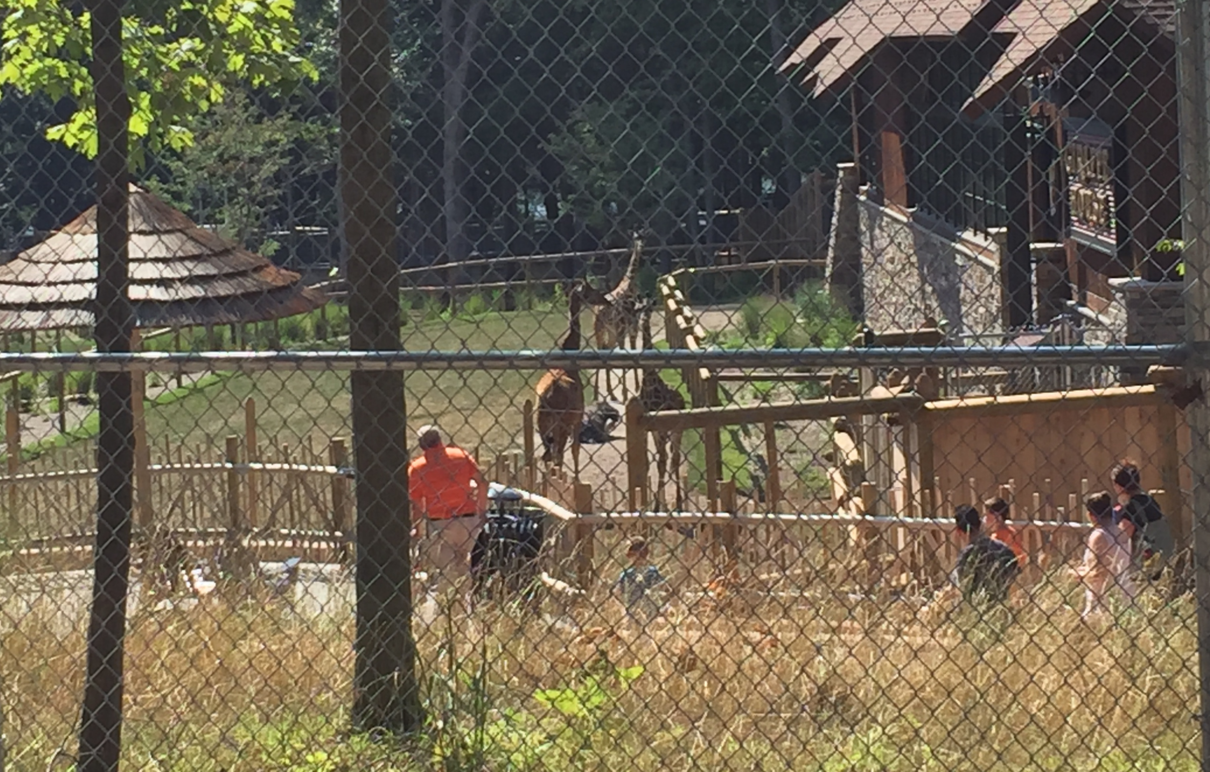
There was one time when we found out that we could get to the back of the
zoo and see the giraffes for free.
The Lenape Trail is marked by rectangular yellow blazes. In South Mountain, it
ascends sharply from the Millburn entrance by the train station to the lookout
point where George Washington spied the British in Manhattan. Then it winds its way
over to Hemlock Falls and across South Orange Ave (and the S-curves where during my
first driving lesson my instructor told me to go into the left lane---long story!) and
into a soft-bedded pine grove (this grove and other key attractions of South Mountain
Reservation were designed by the Olmsted family of Central Park fame). The trail continues
through the Boy Scout campground and then up and above the Turtleback Reservoir.
It took me some time to piece together that the yellow trail at the Millburn entrance
was the same one by the waterfall. And then some more adventures to explore farther
and farther. When I found that it kept going across Northfield Ave, I finally looked it
up and discovered that it's a whopping 34 miles! I suppose you already knew that though.
(ed. note - consider moving this paragraph to the beginning.)
After South Mountain Reservation, the trail continues through streets, small parks,
big parks, reservoirs, patches of woods, through a power line cutout, under a highway,
up a hill, along a cliff, through a downtown area, down a hill, up a hill, and through
some more parks before finally ending up in Newark's Branch Brook Park. The Lenape
Trail Race runs this route backwards, in my opinion, starting at Newark Broad Street and
ending in Millburn.
Several summers ago, after I had discovered the full extent of the trail, my friend Gabe and
I started running the whole thing, in ten-ish mile chunks, often driving our cars around
for longer than the run, like fox-chicken-and-corn farmers who never heard of a cage.
At the end of the summer, we walked 28 miles of it, joined by Bill. Bill, incidentally,
had been drunk when he agreed to join us the night before and had no idea what he was
getting into. He arrived with only a half-filled bottle of water. This March, I hope to
be more prepared than Bill, but I could sure use a fraction of his
fearlessness.
But anyway, as part of training for this race, I went for a run last night, even though
run club was cancelled. Sunday's snow has left the sidewalks of North Brooklyn slick
and slippery. Yet, somehow, the streets were clear. For readers in the Northeast, the
same is probably true of your neighborhood. This might not be surprising to you,
but consider this: why are your tax dollars being spent to salt and plow the way for
private vehicles, but not also to clear the paths where the people go? Why is the
safety of pedestrians a matter of individual responsibility when systemic changes
could make things safer for everyone?
So when you're sliding across your neighbor's sidewalk this winter, sure, shake one fist at
their lazy landlord, but shake the other fist at your local representative. And now you're
dancing!
Ayy, macarena!
Move those feet.
Ayy, macarena!
Splat. Crack.
Ayy, macarena!